Projects: Project Map Tool
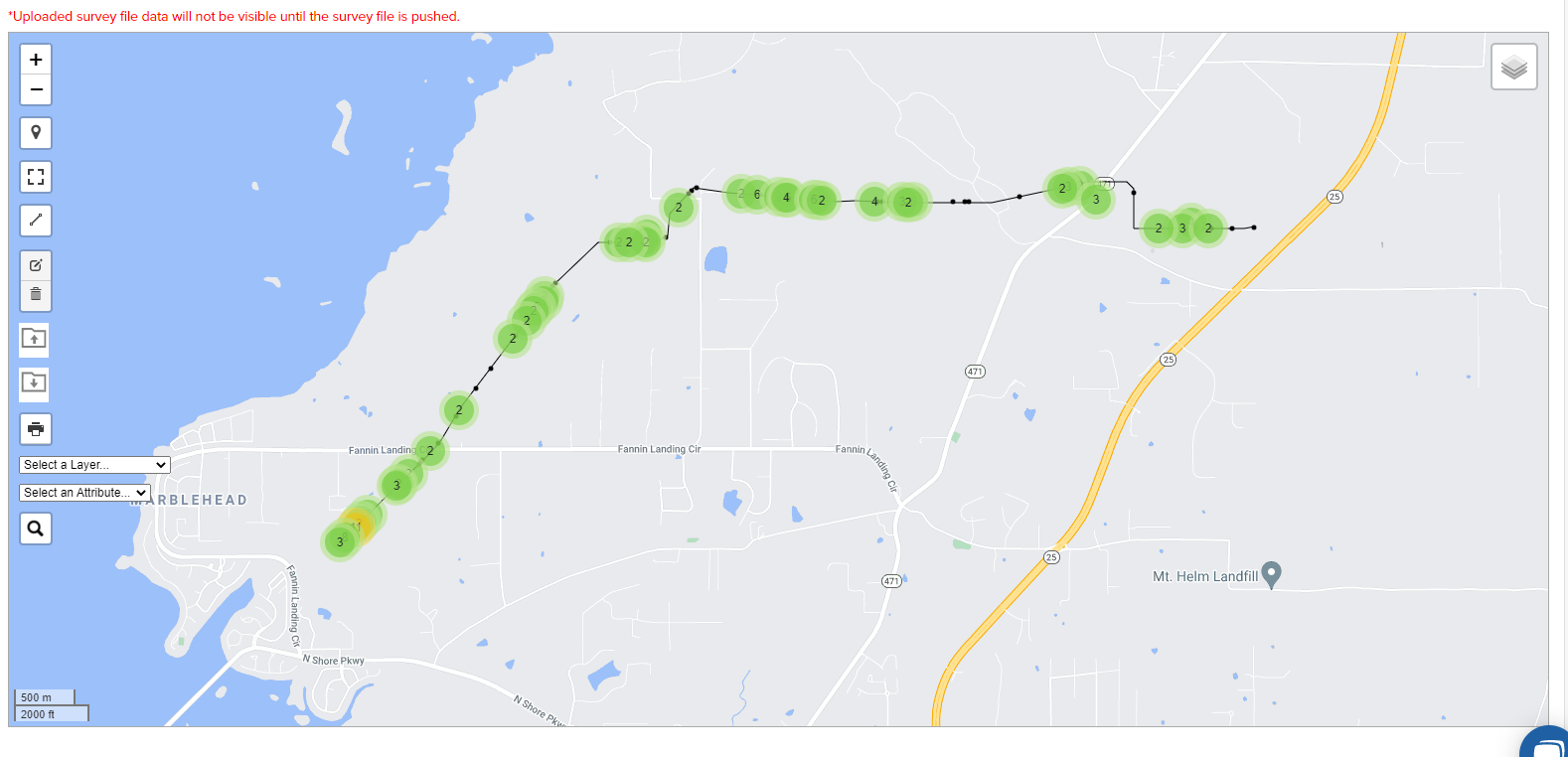
The Project Map allows the user to view a map of the project that displays the center line, parcels, current weather, and other data in a layered format.
Layers can be turned on or off by hovering over the layer icon on the top left of the map and clicking on the check boxes.
The map can be set to have a default view by clicking Set as Default.
Views can be saved for later access by clicking on the Save View button.
Maps can also be printed by clicking on the Print Map button at the bottom left corner of the map.
Below is a screenshot of what a project map may look like.
