NOTE: For more information on working with Survey Files, click here.
Import Data
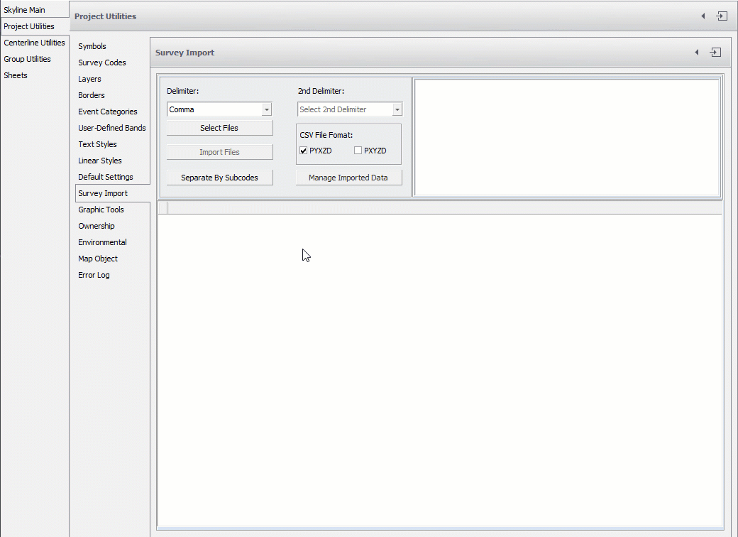
NOTE: The import file must be a *.txt or *.csv file. In order for the file to be imported correctly, the first five fields need to be organized in one of these three particular orders:
- Import PXYZD: point number, X (Easting), Y (Northing), Z (Elevation), Description (Code), Attribute (SubCode 1), Attribute (SubCode 2), etc.
- Import PYXZD: point number, Y (Northing), X (Easting), Z (Elevation), Description (Code), Attribute (SubCode 1), Attribute (SubCode 2), etc.
- Import PLLZD: point number, Longitude, Latitude, Z (Elevation), Description (Code), Attribute (SubCode 1), Attribute (SubCode 2), etc.
Separate By Sub-Code
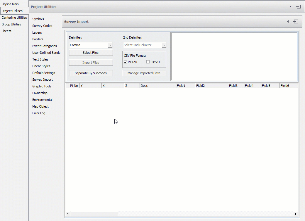
After importing the data, click the Separate By Sub-Code button on the Project Utilities dialog. This will parse the data from the Import table into the corresponding Code tables.
View Data
After separating by sub-code, you can click the Manage Imported Data button. The View Tables box opens showing the data just imported and parsed.
Edited by Noah Waters 11/9/22